
Met Office responds to reports of 27C ‘mini heatwave’ this month

The Met Office has played down reports of a mini heatwave hitting the UK later this month bringing temperatures of 27C.
According to a report in the Daily Express, citing data from independent forecaster Netweather, a spell of hot weather is on its way in the middle of July. It predicted temperatures could reach 27C in London and the south east of England around 14 and 15 July.
However, when asked about the report, a spokesman for the Met Office told Yahoo News UK: "It is too far ahead to give a specific temperature for those dates."
The pattern for this week is much cooler than last week, when much of the country saw temperatures in the mid to late 20s.
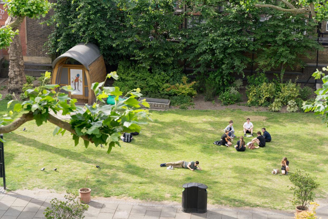
Read more: Met Office records hottest day of year with high of 30.3C at Heathrow(PA Media)
Last Wednesday, 26 June was the hottest day of the year so far, with a temperature of 30.3C recorded at Heathrow Airport.
The Met Office spokesman said: "The weather across the UK will be more changeable this week, with showers and lower temperatures than last week.
"Temperatures will remain generally below average through the week. There is uncertainty in the forecast by next week but temperatures could recover to average or possibly a little above."
June 2024 has been cool, dry and sunny.
It was a month of contrasts for many, with a cool first half offset by warmth later.
Rainfall was also in relatively short supply, especially in the south.
Get all the details below 👇— Met Office (@metoffice) July 1, 2024
On Monday, the Met Office said the UK saw less rainfall than expected in June but the average temperature across the month was below 13C.
It said 55.1mm of rain fell across the country last month, 29% less than the long-term average, while Wales and England saw around half of their expected average amounts.
But this did not seem to translate into more generally warmer weather as the average UK mean temperature for June was 12.9C, which was 0.4C below the long-term meteorological average.
The lower June temperatures are in stark contrast to those seen the month prior, where an average temperature of 13.1C saw the warmest May in records dating back to 1884.
The Met Office said: “Temperatures in the first two weeks of June were around 2°C below average. This was due to northerly winds bringing cold Arctic air across the UK in what was a cool start to meteorological summer.
“The second half of the month saw high pressure as the jet stream moved north, bringing warmth to many, especially in the south. Some areas of south east England exceeded 28°C for several days.”
It also comes after the UK had its wettest spring since 1986 and the sixth wettest on record.
The current forecast for the beginning July has temperatures remaining on the cool side, with unsettled conditions leading to a mix of bright spells, scattered showers and stronger winds.
Yahoo breaks down what the weather will be like for each region of the UK.
London and the South East
Tuesday and Wednesday
Probably a fine start, but becoming increasingly cloudy from the north, with a little light rain arriving for many into the afternoon. This should become more showery later in the day, with most parts then becoming dry into the evening. Maximum temperature 21C.
Rather cloudy and damp to start on Wednesday, but with some brighter intervals again developing. Driest in the south and east throughout, with the best of limited sunny intervals. Cooler than recently. Maximum temperature 19C.
Thursday to Saturday
A changeable and often breezy period, with eastern parts seeing the lengthiest drier spells and the best chance of some sunshine. Perhaps more generally cloudy, wet and windy on Friday.
South West
Tuesday and Wednesday
A largely dry and bright day though often cloudy with some spells of hazy sunshine at times. Temperatures slightly below average but feeling pleasant where you catch the sunshine. Maximum temperature 19C.
A cloudy day on Wednesday with some outbreaks of showery rain possible alongside some brighter interludes. Often rather breezy which will make it feel a little cooler at times. Maximum temperature 19C.
Thursday to Saturday
A changeable week with sunny spells on Thursday. Longer spells of rain on Friday and brighter on Saturday with sunny spells and showers. Breezy throughout. Temperatures a little below average.
Midlands
Tuesday and Wednesday
Overall a fine and dry day, though cloudy at times. A chance of some showery rain in the far northwest later and temperatures a little below average. Maximum temperature 18C.
An unsettled day on Wednesday with showers and longer spells of rain. Often breezy particularly in any heavier downpours. Maximum temperature 18C.
Thursday to Saturday
A changeable week with sunny spells on Thursday. Longer spells of rain on Friday and brighter on Saturday with sunny spells and showers. Breezy throughout. Temperatures a little below average.
North East
Tuesday and Wednesday
On the cloudy side, with a little light rain at times, tending to become more showery and intermittent later, with the prospect of some lengthier drier and brighter intervals developing. Maximum temperature 20C.
A cloudy and damp start to Wednesday, but with some brighter intervals again developing. A further spell of rain later in the afternoon should usher in a clearer and breezier evening. Cool. Maximum temperature 17C.
Thursday to Saturday
A changeable and often breezy period, with eastern parts seeing the lengthiest drier spells and the best chance of some sunshine. Probably more generally cloudy Friday, with heavier rain later.
Tuesday will start rather grey and damp across eastern England
Elsewhere there will be plenty of bright or sunny spells, but a scattering of showers will move across some northern and western areas pic.twitter.com/HQuV47V3hy— Met Office (@metoffice) July 1, 2024
North West
Tuesday and Wednesday
A dry and bright start, but cloud will build with some showery rain developing during the middle of the day. Temperatures a little below average. Maximum temperature 17C.
An unsettled day on Wednesday with showers and longer spells of rain. Often breezy particularly in any heavier downpours. Maximum temperature 17C.
Thursday to Saturday
Changeable with showers on Thursday. Drier on Friday with a chance of rain later. Brighter on Saturday though the odd shower. Breezy throughout. Temperatures a little below average.
Scotland
Tuesday and Wednesday
Dry start to a bright day with sunny spells for most, however light showers in the west develop more widely through the morning and continue through the afternoon. Maximum temperature 18C.
Cloudy throughout Wednesday morning with some outbreaks of rain, heaviest and most persistent in the west. Brightening through the afternoon with some sunny spells developing and the odd shower. Maximum temperature 18C.
Thursday to Saturday
Remaining rather cool, unsettled and often breezy with showers or some longer spells of rain. Showers heaviest, perhaps thundery, and winds strongest on Thursday.

Northern Ireland
Tuesday and Wednesday
Dry, bright start with some sunny spells. However, scattered showers develop through the morning, continuing through the afternoon. Cloud and more persistent rain may spread into the far west later in the afternoon. Maximum temperature 18C.
Cloudy on Wednesday morning with light or drizzle. Becoming brighter through the afternoon with some sunny spells and a few showers developing. Strengthening westerly winds developing. Maximum temperature 18C.
Thursday to Saturday
Remaining rather cool, unsettled and often breezy with showers or some longer spells of rain, particularly on Friday. Winds strongest on Thursday.
Wales
Tuesday and Wednesday
A largely dry and bright day with some spells of sunshine. Some showery rain possible later in the day in the far north and temperatures a little below average. Maximum temperature 18C.
An unsettled day on Wednesday with showers and longer spells of rain. Often breezy particularly around coasts and amongst any heavier downpours. Maximum temperature 19C.
Thursday to Saturday
A changeable week with sunny spells on Thursday. Longer spells of rain on Friday and brighter on Saturday with sunny spells and showers. Breezy throughout. Temperatures a little below average.

