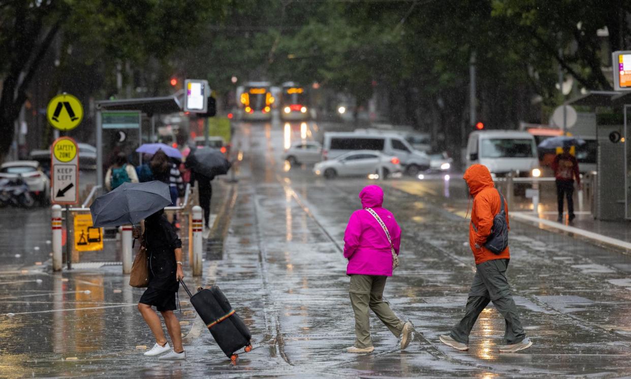
Global heating is making El Niño and La Niña forecasts less reliable, BoM says

The Bureau of Meteorology is shifting the way it communicates about climate phenomena such as El Niño and La Niña, because global heating is making predictions based on the past less reliable.
This week the bureau kept the country on a “La Niña watch” and said if the climate system in the Pacific does develop, it’s likely to be short-lived and weak.
Historically, La Niña events – where warmer waters gather to the north of Australia – have been associated with cooler and wetter conditions from across north-western Australia to the south-east. El Niño events are often warmer and drier.
But Dr Karl Braganza, national manager of climate services at the bureau, said climate change and the amount of heat being added to the oceans made those old relationships less reliable.
Climate change may not have “broken” them, he said, “but the number of times when the climate is inconsistent with what we saw in the past will only increase”.
The bureau issues regular updates on “climate drivers” such as El Niño, La Niña and conditions in the Indian Ocean that can influence rainfall.
Braganza said the bureau was encouraging the public to look at its long-range forecasts rather than rely too heavily on understandings based on the past.
Over the past decade, the bureau has developed versions of so-called “dynamical models” for its long-range 90-day forecasts. The current version, ACCESS-S, takes in observations of the ocean and atmosphere, including changes in greenhouse gas concentrations, and produces forecasts based on physics.
Braganza said older statistical models that based predictions on historical observations “worked well in a stationary climate”, but that these dynamical models were now more useful.
“It’s not relying on the past, but on the current information.”
Braganza pointed to last year’s El Niño as an example. El Niños have historically been associated with hot and dry conditions but after early summer heat, there were torrential rains in December and January.
“The dynamical models picked that rain up,” Braganza said.
Like most weather forecasts, Braganza said, ACCESS-S can’t offer 100% accuracy: results are less precise the further out they are.
The model is used continually and delivers a long-range forecast based on the results of 99 model runs that give a probability of rainfall and temperature being above or below average.
“These are probabilistic forecasts – so when you say there’s a 70% chance of above-average rainfall, that also means there’s a 30% chance of below-average rainfall,” he said. “People need to use them to hedge their risk, rather than use them to guide their entire operation.”
Braganza said the bureau was aware some communities were developing their own expectations of rainfall or temperature “based on their knowledge of history” of climate drivers like the often drier El Niño.
Related: Experts warned El Niño was likely to bring Australia a hot, dry summer. What happened?
“If we said, ‘there’s an El Niño’, we found that people were making up their own rainfall forecasts,” he said.
Australia’s weather was influenced by a rare triple La Niña from 2020 to 2023, followed by an El Niño that ended in April. La Niña is the phase of the El Niño Southern Oscillation (Enso) linked to cooler than average sea surface temperatures in the equatorial Pacific.
The bureau said this week that global sea surface temperatures were the warmest on record for each month from April 2023 to June 2024. July and August this year were just short of last year’s record levels, “but much warmer than all other years since observations began in 1854”.
The bureau said three of seven international climate models, including its own, suggested tropical Pacific temperatures could exceed a La Niña threshold from October and three more had temperatures bordering on the threshold.
The US National Weather Service has said there is a 71% chance of a likely weak La Niña developing before November.
• This article was amended on 19 September 2024. A previous version of the story incorrectly said El Niños were associated with wet and dry conditions. El Niños are associated with dry and hot conditions.


