
Melbourne and Sydney wake to coldest morning this year after Queensland weather record
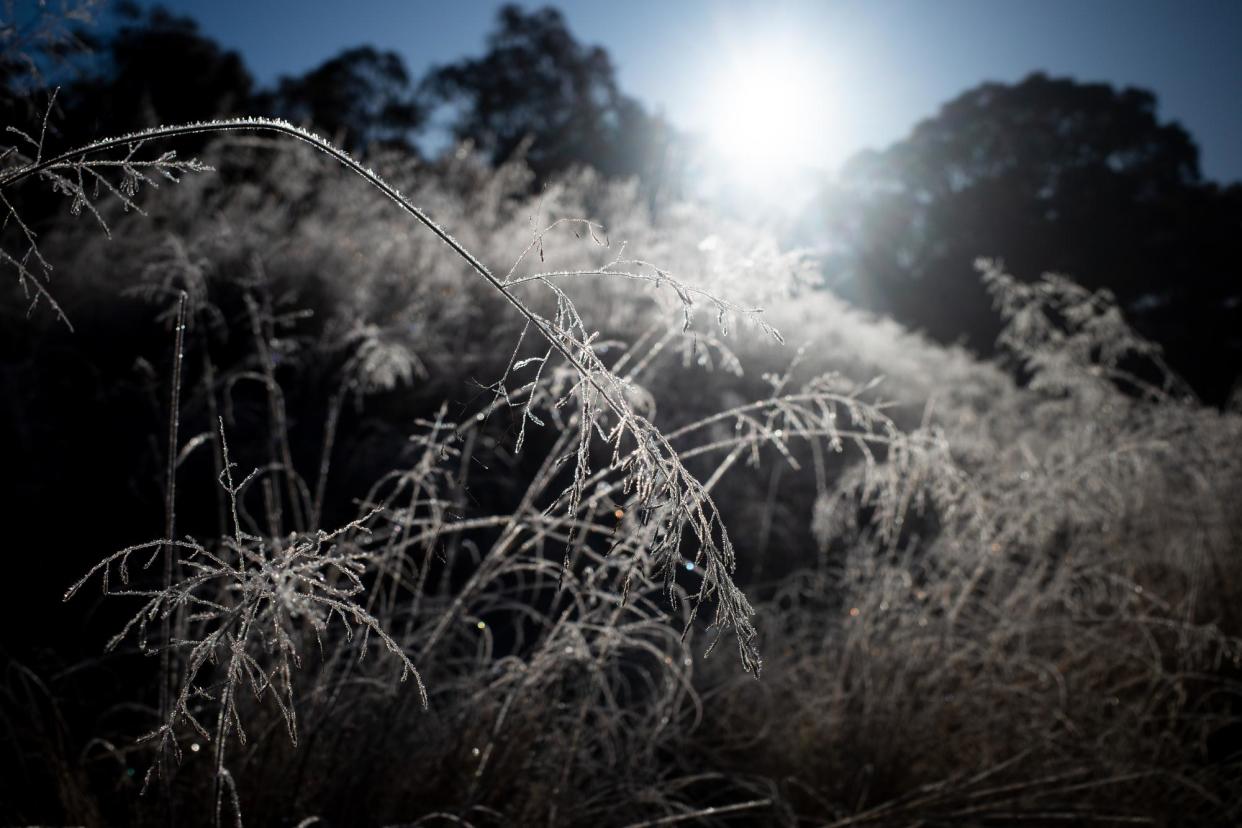
Melbourne and Sydney have shivered through their coldest morning so far this year, after Queenslanders awoke to a blanket of frost across a large swathe of the state’s centre on Tuesday.
On Wednesday, Sydney recorded a low of 6.5C at Observatory Hill, compared with Melbourne’s bone-chilling low of 1.4C.
Meanwhile, Monday night was the coldest June night on record in Queensland’s inland.
Tambo post office in central Queensland hit -5.6C on Tuesday morning – its coldest June minimum on record – bringing it in line with the coldest annual record at that location, set in 1995.
Thangool airport near Biloela was -3.4C, a new June record. At Roma airport, the mercury hit -3.5C, the coldest temperature since 11 July 2022 – though well above the site’s record low of -5.8C in August 1995. Mackay, in the state’s mid-north, dropped to 5.5C.
The band of cold was blanketing the entire east coast, with widespread frost across Tasmania, Victoria, the ACT and New South Wales on Tuesday morning.
Apparent, or “feels like”, temperatures were up to 3C lower across many locations, the Bureau of Meteorology’s Morgan Pumpa said. By 9am on Tuesday in Tambo, the temperature was 7.3C but felt like 5.4C.
The frosty temperatures were the result of a low pressure system in the Tasman Sea driving icy southerly winds into south-eastern Australia combining with a high pressure system over much of the country’s east, Pumpa said.
The combination had been creating unusually cold conditions since the weekend and was set to ease with clouds expected for the winter solstice on Friday. By Saturday, another cold front would again deliver widespread frost to the country’s east.
“Settled weather is allowing some of that cold air to reach as far north as Hamilton Island,” Pumpa said.
“We may see the coldest temperatures so far this year on the weekend – and widespread frost.”
She said the “really chilly” starts were generally turning into bright, mild days, with maximum temperatures close to seasonal averages.
“Clear skies and light winds are when we get really cold mornings,” she said.
Widespread frost was again expected from Tasmania to Queensland on Wednesday while even parts of the Northern Territory were getting “very chilly temperatures”, she said.
Proserpine, in Queensland’s sun-drenched Whitsundays region, was forecast to reach temperatures as low as 5C on Wednesday, well below its usual seasonal average of 12.9C.
Elsewhere, -3C was expected in Canberra, -1C in Launceston, Tasmania and -1C in Roma, Queensland.
There was a chance of snow in Victoria and NSW, including in the central tablelands of NSW and possibly into Barrington Tops national park, on Thursday and Friday.

