
Nobody noticed May was the warmest on record... because it all happened while we were asleep
If you were surprised to learn Britain had its warmest May on record, then it is because you probably slept through it.
Earlier this week the Met Office provoked much head-scratching after announcing that, even though last month felt decidedly chilly to most, it was record-breakingly mild.
The reason, according to the forecaster, was that overnight temperatures were warmer than usual because of cloud cover.
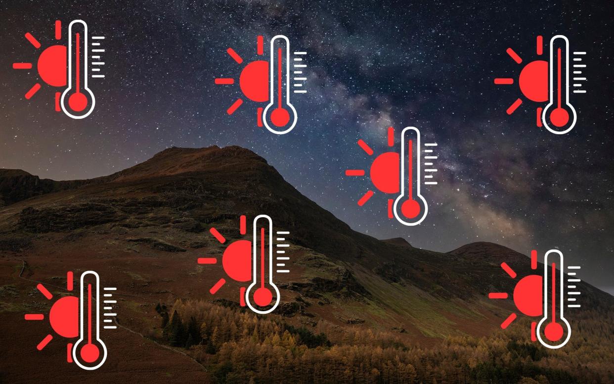
While low thick clouds reflect solar radiation, cooling the Earth, high thin clouds transmit incoming heat from the Sun and trap some of the warmth emitted from the surface, warming everything up.
Rather than acting like a blanket, clouds perform more like space heaters, reflecting rising heat back down to the surface.
The Met Office admitted that most people would not have noticed the record-breaking temperatures.
“While it may not have felt like it for many, with sunshine in relatively short supply, provisional figures show May was the warmest on record in our series back to 1884,” a spokesperson said.
“This warmth was especially influenced by high overnight temperatures, with the average UK minimum temperature for May 1.2C higher than the previous record.
“Cloudy skies overnight helped to reduce the overnight temperature drop significantly. Essentially this is because the heat from the day is prevented from easily returning back to the atmosphere as quickly.”
A lack of sunshine also led to the puzzlement over how the month could have been so warm.
There were far fewer blue skies than normal in May, with Britain seeing just 159.3 hours of sunshine, 17 lower than might be expected.
“It gets warmer in the daytime because of the Sun – regardless of cloud cover some amount of warmth will still reach the surface in the day, then the cloud helps to retain some of that warmth overnight,” added a Met Office spokesperson.
Coupled with a lack of sunshine, there was also a lot more rain than usual, with 3.2in (82.5mm) of rain, some 16 per cent more than average for May, which helped to increase the monthly gloom.
May 2024’s average mean UK temperature of 13.1C (55.5F) beat 2008’s previous record figure of 12.1C in a series which dates back to 1884, making the month the warmest on record.
Meteorological spring - March, April and May - was also the warmest on record by mean temperature, in figures that were influenced by high overnight temperatures.
Spring 2024’s average mean temperature for the UK has a provisional figure of 9.37C, beating the previous warmest of 9.12C set in 2017.
New data from the Copernicus satellite also showed that, globally, May 2024 was warmest since records began, driven partly by the El Nino weather event in the tropical Pacific.
Temperatures are below average in the eastern equatorial Pacific, suggesting that a La Nina is on the way, which is likely to bring cooler conditions later this year.
When The Met Office pronounced it had been the warmest May since records began, you could almost hear mouthfuls of tea being spat out across Britain, writes Sarah Knapton.
How could a chilly, dull, windy month which had seen enough rain to trigger several yellow alerts, be considered incomparably warm?
The comedian Paul Cox quipped: “We’ve had the warmest May on record as long as you don’t take into account the actual weather.”
The answer was much warmer nights and fewer springtime frosts to bring down the temperature. We had apparently slept soundly as records tumbled.
But the widespread grumblings that met the announcement are indicative of a growing unease that The Met Office is straying from its remit as a public weather service, into climate activism.
A closer look at the figures show that, in many ways, May was not exceptional. Maximum temperatures were not the highest in England, Wales or Northern Ireland, although they did hit record levels in Scotland.
Sunshine levels were equally poor, with just 22 years being more gloomy in Britain since measurements were first taken in 1884. It’s also been the sixth wettest Spring on record, with rainfall 32 per cent above average for the UK.
The record-breaking mean temperature, which hit 13.1C - a full degree warmer than the previous high in 2008 - was dragged up by higher minimums, which rose to 9C from the next highest of 7.8C in 2022.
An abundance of clouds had prevented heat leaving the Earth at night, acting like space heaters reflecting the rising surface energy back towards the ground.
But The Met Office has become increasingly selective with the data that it highlights, often ignoring important caveats and context.
On May 2, the forecaster published a map, showing that all four nations had recorded their warmest days, with temperatures passing 20C at Kinlochewe and Achnagart in Scotland, Santon Downham in England, Hawarden in Wales and Castlederg in Northern Ireland.
Yet a quick look at these spots shows they are all major outliers and not remotely reflective of general weather.
Take Kinlochewe. The small village in Wester Ross in the Northwest Highlands of Scotland, often breaks temperature records because it is subject to an unusual weather phenomenon known as The Foehn effect.
The effect happens when wet and cold conditions on one side of a mountain cause a warm dry wind blowing down the sheltered side.
The Met Office has previously admitted that this effect brings ‘really remarkable station temperatures’ at Kinlochewe that could not be driven through solar energy alone.
In January, the village set a national temperature record after reaching 19.6C, while the rest of the country shivered under cooler than average temperatures.
Likewise the Suffolk village of Santon Downham is known for being warmer than the rest of the country because of its unusually sandy soil which heats more quickly than other soil types and has knock-on effects on the temperature of the air above.
Hawarden, which currently holds Wales’ highest recorded temperature, regularly breaks records because the weather station is sited at Hawarden Airport which picks up extra heat from the tarmac. It is also situated north of the Shropshire Hills and so is also impacted by the Foehn Effect.
Then there is Castlederg in County Tyrone which sits in a hollow heat trap that prevents the mixing of air from elsewhere, meaning that when stable, high pressure systems set in, nothing can stop the temperature from rising.
Look at mean temperatures for the day - the metric used this month to give us the warmest May - and the figures are far lower. The average temperature on May 2 in Britain was 12.1C in Scotland, 11.9C in England, Northern Ireland 12.7C and Wales 10.7C. The Welsh figure was lower than the 20-year average.
Similarly on May 11, the forecaster issued a second map, showing temperatures had hit nearly 26C at notoriously warm spots such as Belfast Airport and Cassley in Sutherland, another location impacted by the Foehn effect.
Liam Dutton, the meteorologist and weather presenter for Channel 4 pointed out that although climate change is playing a significant role in the warmest May, there are also other factors at play.
Weather patterns in May often bring anomalous warmer temperatures, and this year the El Nino climate phenomenon is adding to the rises, a fact noted by the European Centre for Medium-Range Weather Forecasts when it also announced record May temperatures from the Copernicus satellite this week. This was not mentioned in the Met Office release.
Largely this year, temperatures have not hit record levels. In fact, in January Britain recorded a mean temperature of just 3.8C, a full 2.5C cooler than the maximum of 6.8C. The temperature trend for the month has largely plateaued since 2000.
Despite this noticeably chilly start to the year, the Met Office issued a press notice titled ‘A month of contrasts’ pointing out that January had also brought a new daily maximum of 19.9C at Achfary.
This time, at least, the forecaster did acknowledge this was likely to be an anomaly caused by The Foehn effect which caused ‘unusually high winter temperatures’ which tend to be ‘highly localised.’ But why highlight it at all if it’s such a peculiarity?
In February, the Met Office sent out a release stating it was ‘warmest record for England and Wales’ choosing to ignore that it was not record-breaking for the UK as a whole. Scotland saw temperatures 2.2C cooler than the maximum recorded.
March and April broke no records and so did not get the triple-decker headline treatment of February. Neither report of the mild weather made it on to the Met Office’s newsfeed.
Clearly the overall trend, both in Britain and globally, is warming, but the problem with cherry-picking the data is that people stop believing the real figures and begin to suspect the books are being cooked.
The Met Office denies it has such an agenda, telling The Telegraph that it provides a ‘comprehensive and transparent record’ and it merely points out ‘interesting and relevant things about the weather in that period without bias.’
The forecaster pointed out that its datasets are available to access at any time and said it highlighted maximum temperatures - such as on May 2 - because it is often what the media wants.
“Suggestions of the Met Office cherry-picking data or having a role in climate activism are just not true,” said a spokesperson.
“We’re a world-leading weather and climate science organisation, providing impartial and transparent scientific evidence on the UK’s weather and climate. This impartial evidence shows irrefutably that our world is warming and humans are playing a part in this.”
The remit of the Met Office, as stated on its website, is to produce weather forecasts to inform day-to-day decisions, warn of extreme weather, improve weather and climate predictions through research, and provide access to this data.
Arguably it does these things very well, but it also seems to have taken on the mantle of climate warrior and it is skewing its reliability and trust.
Monitoring the weather is a national pastime and Brits can smell a rat when they are not being told the full picture.
Perhaps the backlash from the May temperature release has hit home, because this week the forecaster pointed out that mean temperatures are currently below the seasonal average because of a cold Arctic air mass covering most of Britain.
The climate impacts everyone’s future so it’s critical to get this right. Only unbiased data, presented without spin or agenda will allow people, corporations and politicians to make the correct decisions.
All stats cited are from the Met Office’s own data

