
It’s windy across southern Australia and there’s more to come. Here’s what you need to know
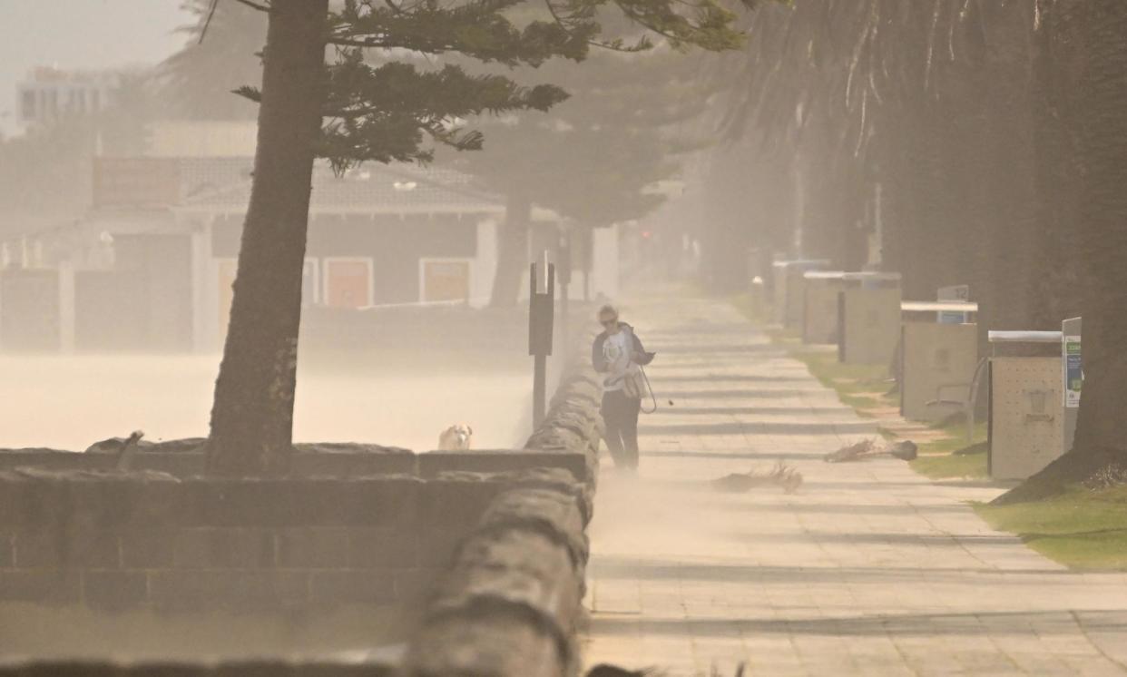
Australia’s southern states have been buffeted by dangerous winds this week, with more on the way.
While the winds eased on Thursday, weather systems moving in from the west are set to bring the gusts back overnight.
Here’s what you need to know about the windy weather.
When will the winds return?
Gusty weather has eased in some parts of Australia but is expected to pick up again overnight.
Related: Australia records hottest ever winter temperature with some areas set to be 10C above average
Heavy winds should pass through the coast of South Australia into Victoria, Tasmania, the ACT and southern NSW on Thursday night.
Those winds are forecast to hit the NSW south coast by Friday morning, then clear into Friday afternoon.
A second front of gusty winds is expected to hit southern Victoria and Tasmania on Friday night through to Saturday. More fronts could push through the country’s south over the weekend.
Why has it been so windy?
The gusts have been carried by a series of fronts, or masses of cold air, as they push across the southern half of the country.
A front moved through on Wednesday and another crossed Western Australia on Thursday, heading through South Australia and towards the country’s south-east. The Bureau of Meteorology is forecasting more wind and fronts will follow.
How long will the winds last?
More fronts could follow the Friday night winds over the weekend, according to Weatherzone meteorologist Angus Konta.
“That’s going to start another regime of pretty strong westerly winds that’s likely to persist straight through the weekend into early next week,” he said.
Where will it be windiest?
Winds of at least 60 km/h are expected in Tasmania, the ACT, southern NSW, central and eastern Victoria, with gusts of up to 100 km/h. Higher altitude areas could face peak wind speeds closer to 120 km/h.
Sydney, Canberra and Adelaide could face strong winds up to 80 km/h, but Melbourne and Hobart are most likely to be hit by damaging winds of up to 100 km/h.
Hot weather expected on Friday, combined with the winds, will raise fire risk in parts of Sydney and coastal NSW as well as southern Queensland. The BoM has warned those regions face high fire danger on Friday.
Wind speeds will sit slightly lower in south-east SA and south-west Victoria, where they’re expected to hit 50 km/h.
Much lighter winds are forecast for south-east Queensland over the weekend.
Are the winds damaging?
Damaging winds are expected across Tasmania, as well as parts of Victoria, the ACT and southern NSW. The BoM on Thursday morning issued severe weather warnings for each region.
The southern tip of WA also has a warning in place, as does the south-east edge of South Australia.
Emergency services across the country have encouraged Australians to watch out for debris, fallen trees and fallen powerlines, and to secure any loose items left outdoors.
The same wind-carrying fronts are expected to bring rain to Victoria and Tasmania on Friday. Tasmanians should also watch out for flooding, with flood watch warnings in place in parts of the state.

